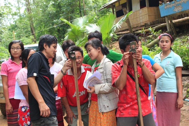
Mapping and GIS
Mapping and GIS is a core component of Land and Forest Management Program. All other projects in Land and Forest Management program require the demarcation and mapping of different land and forest types. The mapping and GIS component also provide training to the communities in order to empower them demarcate their lands. In addition, we also work closely with Kawthoolei Agriculture Department (KAD) and Kawthoolei Forestry Department (KFD) in the demarcation of wildlife protected areas, reserved forests, and different land use types.
Related publications